Megan Cope – Yunggulba – Maiwar, 2016
To hear about the work from the artist, select the ‘Audio’ button below. Select the ‘Stop’ button with the musical note to stop the recording.
Yunggulba
Megan Cope is an emerging artist with a growing profile, attracting attention for her paintings, video work, sculptural installations and site-specific commissions. A Quandamooka woman from North Stradbroke Island, Queensland her work explores the intricate relationship between environment, geography and identity.
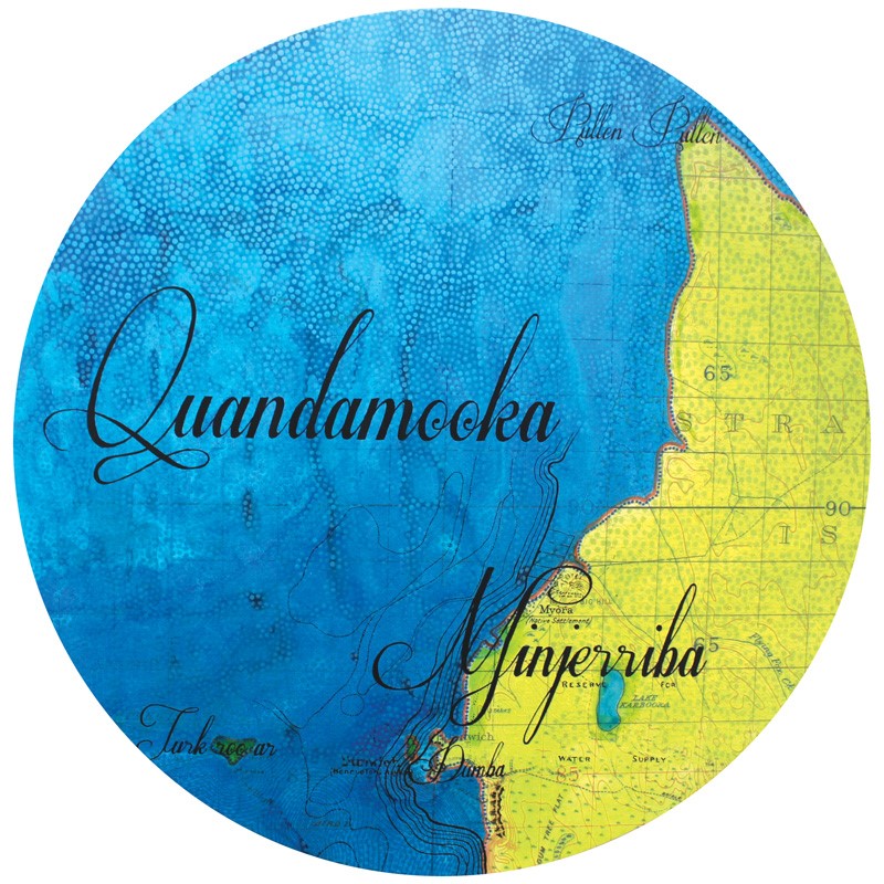
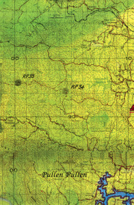
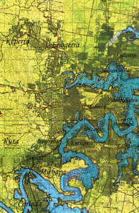
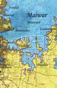
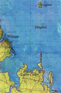
Yunggulba – Maiwar is a continuation of Megan Cope’s After the Flood series which explores toponymy and geomorphology, raising questions about climate change and vulnerability of residents along the coastline of Australia. New watermarks define future potential tidelines from a five metre sea level rise, Cope combines military topographical maps (circa 1930-45) with basic cartographic symbology to reveal a multilayered landscape of dual histories, dual identities and the cultural legacy of colonialism. These works seek to decolonise familiar landscapes with Aboriginal place names and Sovereign peoples connected and belonging to the geographies visible.
I’m Megan Cope, I’m an Noonuccal/Ngugi woman from Quandamooka country, which is in South East Queensland, and my work is titled Yunggulba, which means Floodtide in our Jandai language.
My favourite parts of Brisbane are West End or Kurilpa, and obviously I have quite an affectionate relationship with the river, Maiwar, because it connects to my country. I am from North Stradbroke Island, my father is from there, and I spend nearly all of my summer holidays over there. I love travelling across the water when I go home. We’re salt water people so the salt water is our life’s blood, the Qandamooka is our life’s blood, that’s really important to me.
 I love our relationship with the dolphins (buangan), and they’re very important to us. And I love that even now the dolphins still come to us when we call them, you know because our ancestors developed a very deep connection with the dolphins, and they were our brothers and sisters. And when it was time to go hunting we’d tap the water and the dolphins would bring the mullets in, or the fish in. And the law is that we always feed the dolphins a portion of our catch. And that’s the law of the land, and the law of the sea.
So, Yunggulba, which means Floodtide, is an ongoing series. The map that’s visible in the work is a military map, from the 1930’s and 40’s from the Second World War. And what I do with those maps is I generate a five metre sea-level rise over the top, because I’m interested in what the future looks like. I’m interested in talking about climate change and these sorts of things, because like most Aboriginal people around Australia, our people remember time in a different way, in a non-linear way. And so, you know, we have memory of our country prior to the last sea-level rise which was about 6000 years ago.
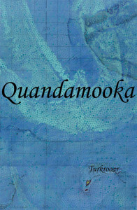 So I wanted to turn that around and bring it up even more. As we know climate change is something that is on people’s minds, we’re seeing more and more dramatic changes in river systems. So I’m sort of, you know, trying to decolonise the landscape in that sense, and challenging our sense of time. Also it raises questions about dispossession of the land, in terms of when you observe the maps and you see that the sea, when the sea rises that we have climate refugees in our own country. Which is not something I think people consider all that often.
What I also do with the map is put the Aboriginal place names back over the top of that to again, decolonise the space and assert sovereignty by acknowledging that it’s Aboriginal land even though the map is a western map and a military map and a western way of viewing the landscape. I’m trying to bring I guess all of those things that I’ve been taught by my family, and super imposing it over the landscape to sort of create a dual landscape a well as challenge our sense of time and place.
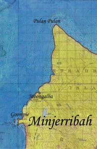 How I want people to see that, if that’s even possible, I mean, people will always interpret art in their own way. I guess if the work is trying to say anything it’s about people seeing themselves in that space and being challenged by time and space and history and our, recognising our connection to our country and our knowledge and our history, through those subtle changes that I’ve sort of applied over the landscape.
Thank you for taking the self-guide Maiwar Exhibition tour.
Maiwar, is the signature event of Black History Month. The exhibition includes nightly projections onto the William Jolly Bridge from artists Elisa Jane Carmichael, Gordon Hookey, Brook Andrew and Danie Mellor. View the projections from 6pm daily. If you’d like to find out more, visit www.brisbane.qld.gov.au/blackhistorymonth
We hope you get a chance to check out some of the other experiences on the app.
